About This Race
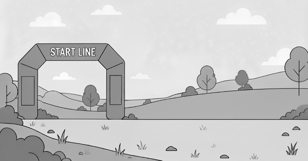
Although the air will be noticeably thin at the starting line, Echo Lake's 10,600 feet of elevation is just the beginning. The climb totals nearly 4,000 vertical feet - much of it above treeline - as you make your way 14.5 miles to the finish line located at the summit of one of the most recognizable peaks on Denver's mountain skyline - 14,264 foot Mt. Blue Sky (formerly Mt. Evans). Learn about the name change by clicking here..
Be inspired!!!
Join us on June 28, 2026 for another memorable run.
Spectators will include Bighorn Sheep, Marmots, and Mountain Goats - maybe even a few people!!!
There are two options in 2026: The Ascent is a one-way 14.5 mile climb from Echo Lake the summit of Mt. Blue Sky. the Round Trip is just as it sounds -- you will run to the top, then run back down.
Course & Race Day Details
Charity Beneficiary
Alpine Rescue
Help Build Idaho Springs's RaceMob Community
Your contributions help thousands of runners. Add what you know!
Write First Review
Share your experience
Add Runner Tips
Course strategy & advice
Share Discounts
Help runners save money
Create a Team
Coordinate your crew
Be the First! No content yet for this race.
Add photos, reviews, or tips to help other runners.
Race Photos
No Photos Yet
Be the first to share photos from this race!
Choose Your Distance
Quick Links